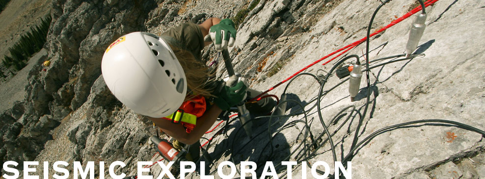
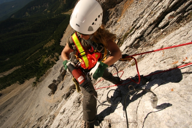
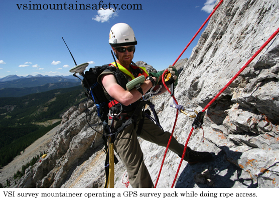
The key to the successful survey and mapping of your mountain Heli-Portable Exploration Operations.
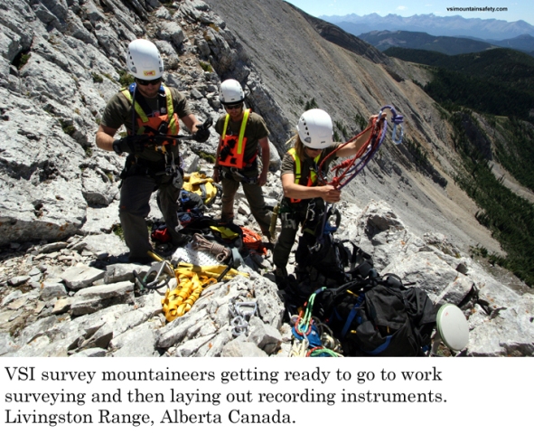
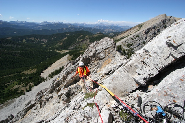
VSI survey mountaineers will safely survey your prospect using the latest technological advances in survey instruments and methodology. The VSI surveyors will:
- Survey terrain using industry best practices for mountaineering and rope access
- Provide technical rescue for personnel in technical mountainous terrain.
- Flag access around extreme terrain
- Use the VSI terrain evaluation system to:
- Assess terrain for both steepness to determine fall related hazards
- Assess the terrain for surface roughness (how rugged the terrain is) to prevent slip trip and fall related hazards
- Assist drilling and recording crew coordinators in determining how they will allocate personnel according to their fitness level and abilities in rugged terrain
- Assist and advise with mapping and engineering to create hazard maps that are easy to read so that drilling ops and recording ops have a clear understanding of the related hazards
- Select and construct helicopter landing pads.
VSI mountaineers are all trained in:
- Advanced Wilderness First aid
- Adult educational techniques
- Field training techniques
- WHMIS
- H2S awareness
- Defensive driving
- Off road driving
